Frequently Asked Questions
Clear answers about 3D laser scanning, our deliverables, and how to get started.
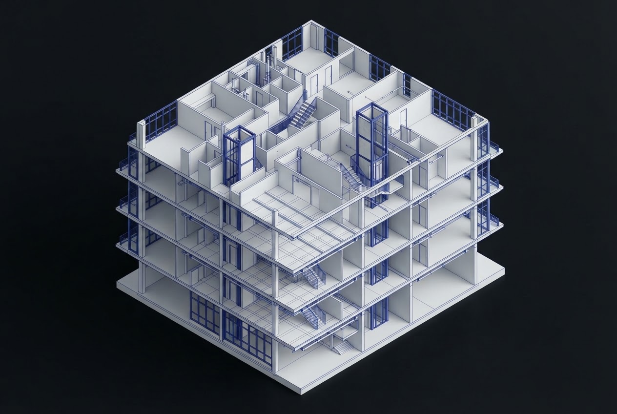
3D laser scanning is a process that uses a professional laser scanner to capture the geometry of a physical space in three dimensions. The scanner measures thousands of points throughout a building, creating a detailed digital representation of the existing conditions. That dataset becomes the foundation for floor plans, CAD, BIM models, point clouds, and 3D experiences.
From a single scan we can produce existing-condition floor plans, dimensions, ceiling heights, elevations, CAD/DWG files, BIM/3D models, point clouds, interactive 3D walkthroughs, and cinematic fly-throughs. One scan can become many deliverables.
Yes. We deliver clean CAD/DWG drawings generated from the scan data, including floor plans, elevations, and sections that your design and construction team can work from directly.
Yes. We build BIM/3D models from the captured scan data, giving your team a three-dimensional model that reflects the actual existing conditions of the building.
Yes. Dimensioned floor plans are one of our most common deliverables. Because they come from a 3D scan, they reflect the real geometry of the space rather than a handful of manual measurements.
Yes. We routinely scan occupied residential and commercial buildings. Scanning is non-destructive and we coordinate around normal activity to minimize disruption.
On-site scanning time depends on the size and complexity of the space. A single room may take minutes; a full commercial building may take a day or more. We'll give you a clear time estimate with your quote.
Yes. We scan buildings of all sizes, from single rooms to large commercial and industrial facilities. Multiple scan positions are registered together into one cohesive dataset.
Yes. We create interactive 3D walkthroughs that let clients, teams, buyers, and owners explore a space remotely from any device.
We scan residential homes, commercial buildings, architectural landmarks, industrial facilities, and development sites. If it exists in the physical world, we can capture it.
Our professional laser scanning equipment captures measurements to a high degree of precision across the entire space, far denser and more complete than manual measuring. We'll discuss the level of accuracy your project requires.
Pricing depends on the size of the property, the complexity of the space, and the deliverables you need. Tell us about your project and we'll provide a clear quote.
The property location, approximate size, project type, and what you're looking for. The more detail you can share, the more precise your quote will be.
Still have questions?
Tell us about your project and we'll help you determine the right approach.
Contact UsReady to Capture Your Project?
Whether you need accurate existing conditions for a renovation, documentation for a construction project, or a digital experience for a property, we'll help you determine the right scanning and deliverables for your needs.